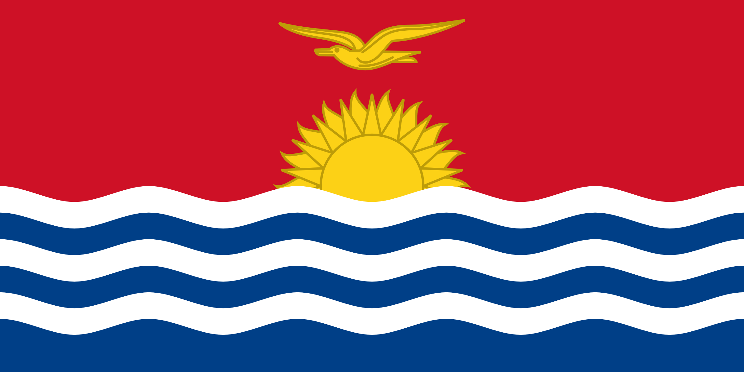
List of States in Kiribati with Latitude and Longitude

About Kiribati
Kiribati, officially known as the Republic of Kiribati, is a small island nation located in the central Pacific Ocean. The capital of Kiribati is South Tarawa, which is the most populous area of the country. The dial code for Kiribati is +686, and the population of the country is approximately 120,000 people.
The country consists of 33 coral atolls and islands spread over a vast area of 3.5 million square kilometers. Kiribati has a total coastline of approximately 1,143 km.
Kiribati is located near several other Pacific island nations, including Tuvalu to the south, Samoa to the southeast, and the Marshall Islands to the northeast. The country is also located near Fiji to the west, and the distance from Kiribati to Fiji is approximately 2,500 kilometers. Due to its location, Kiribati is a popular destination for tourists interested in exploring the beauty of the Pacific Islands, with its pristine beaches and abundant marine life.
Kiribati Details
| CAPITAL | Tarawa |
| DIAL CODE | +686 |
| POPULATION | 105,711 |
| AREA | 811 KM2 |
| COAST LINE | 1,143 KM |
| MOBILE USERS | 167 |
| INTERNET USERS | 11,874 |
Near By Countries
| Country | Distance to Kiribati |
|---|---|
| Tokelau | 712 km |
| Samoa | 1213 km |
| American Samoa | 1221 km |
| Wallis And Futuna | 1480 km |
| Tuvalu | 1563 km |
Below are the list of states with their cities. Select a state name to display list of the popular cities and places.
States in Kiribati with Latitude and Longitude
| States | Latitude | Longitude |
|---|---|---|
| (1) | 1.338187506 | 173.0175708 |
Famous Tourist Places in Kiribati State Wise
Find famouse or tourist places in Kiribati with latitude and longitude of the places. Tourest places are divided into diferent category. Please click on any place listed below to see name of places in each category with complete information.
| Place Name |
|---|
