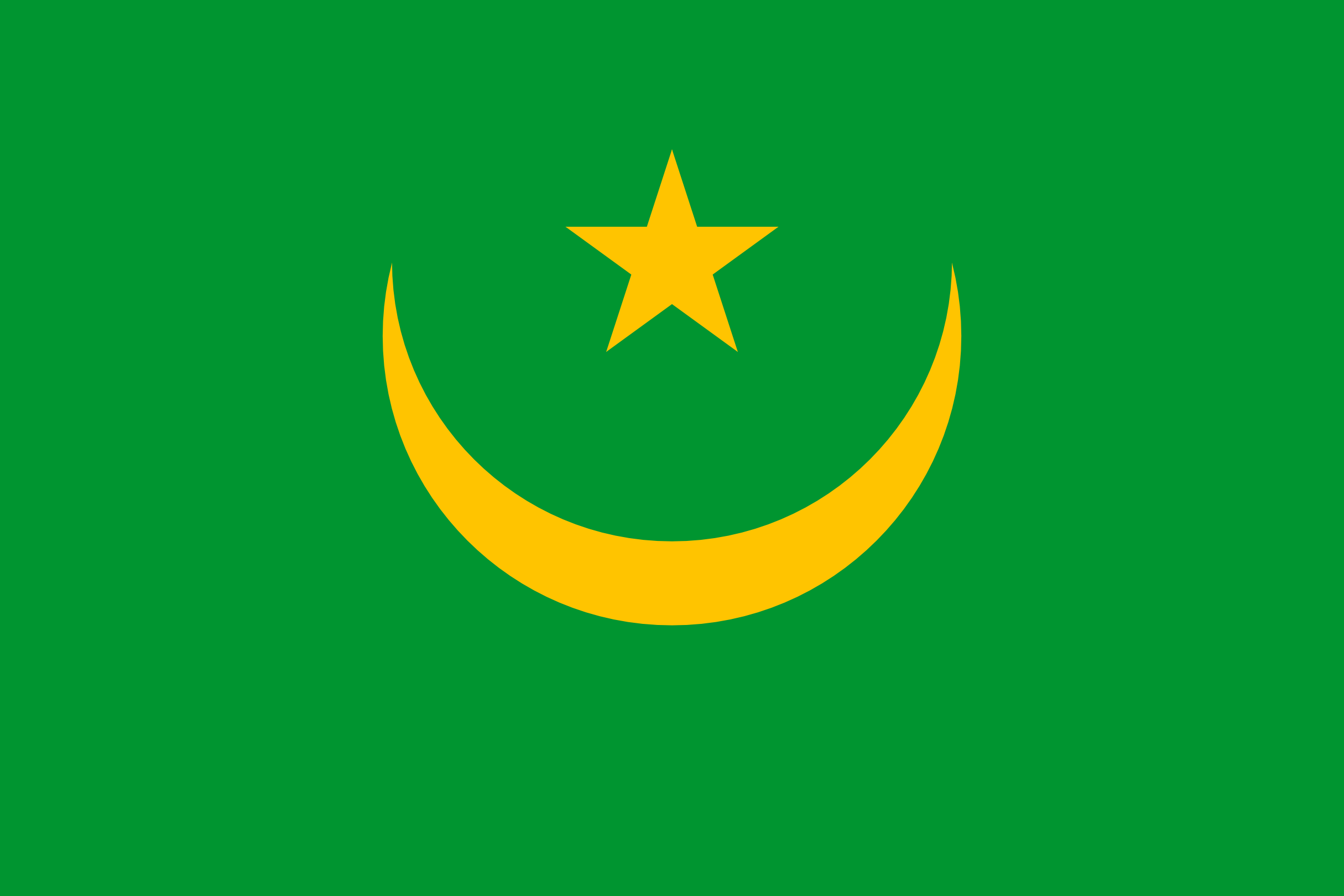
List of States in Mauritania with Latitude and Longitude

About Mauritania
Mauritania Details
| CAPITAL | Nouakchott |
| DIAL CODE | +222 |
| POPULATION | 3,596,702 |
| AREA | 1,030,700 KM2 |
| COAST LINE | 754 KM |
| MOBILE USERS | 5,061 |
| INTERNET USERS | 213,132 |
Near By Countries
| Country | Distance to Mauritania |
|---|---|
| Western Sahara | 409 km |
| Senegal | 814 km |
| Mali | 823 km |
| Gambia | 960 km |
| Guinea-Bissau | 1118 km |
Below are the list of states with their cities. Select a state name to display list of the popular cities and places.
States in Mauritania with Latitude and Longitude
| States | Latitude | Longitude |
|---|---|---|
| Adrar (1) | 20.51664044 | -13.04998926 |
| Assaba (1) | 16.61997906 | -11.39998661 |
| Brakna (3) | 17.057997 | -13.90899556 |
| Dakhlet Nouadhibou (1) | 20.90000205 | -17.05602381 |
| Guidimaka (1) | 15.16701866 | -12.18332381 |
| Hodh Ech Chargui (2) | 16.25041506 | -8.166618084 |
| Hodh El Gharbi (1) | 16.66659121 | -9.616658774 |
| Inchiri (1) | 19.74699906 | -14.39099948 |
| Nouakchott (1) | 18.08642702 | -15.97534041 |
| Tagant (1) | 18.5500163 | -11.41660059 |
| Tiris Zemmour (4) | 22.67900113 | -12.70700053 |
| Trarza (3) | 17.55038739 | -14.70004358 |
Famous Tourist Places in Mauritania State Wise
Find famouse or tourist places in Mauritania with latitude and longitude of the places. Tourest places are divided into diferent category. Please click on any place listed below to see name of places in each category with complete information.
| Place Name |
|---|
