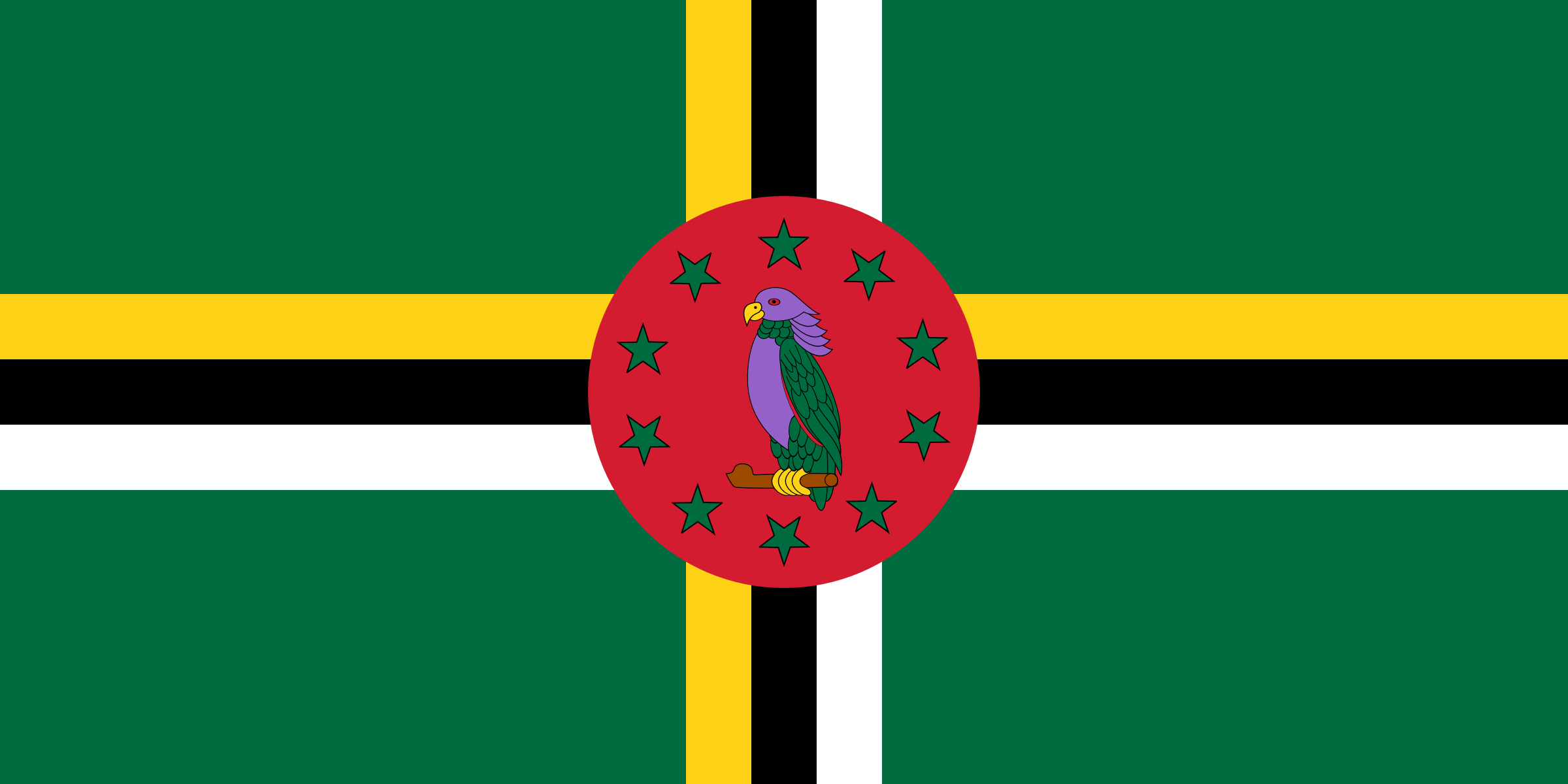
List of States in Dominica with Latitude and Longitude

About Dominica
Dominica is a small island nation in the Caribbean Sea, located in the Lesser Antilles region. Its capital city is Roseau, which is also the largest city on the island. The country has a population of around 72,000 people and an area of 751 square kilometers.
The country does not have a coastline but is home to several beautiful beaches that attract tourists from all over the world. The dialing code for Dominica is +1-767, and the country has a mobile phone penetration rate of around 74%. Dominica is located in close proximity to other Caribbean nations, including Guadeloupe, Martinique, and St. Lucia. It is approximately 40 kilometers from Guadeloupe, 50 kilometers from Martinique, and 38 kilometers from St. Lucia.
The island nation is known for its stunning natural beauty, including hot springs, waterfalls, and lush rainforests. The country's economy is driven by tourism, agriculture, and financial services.
Dominica Details
| CAPITAL | Roseau |
| DIAL CODE | +1809 |
| POPULATION | 73,607 |
| AREA | 751 KM2 |
| COAST LINE | 148 KM |
| MOBILE USERS | 524 |
| INTERNET USERS | 43,239 |
Near By Countries
| Country | Distance to Dominica |
|---|---|
| Martinique | 94 km |
| Montserrat | 172 km |
| Saint Lucia | 173 km |
| Antigua And Barbuda | 189 km |
| Guadeloupe | 191 km |
Below are the list of states with their cities. Select a state name to display list of the popular cities and places.
States in Dominica with Latitude and Longitude
| States | Latitude | Longitude |
|---|---|---|
| Saint George (1) | 15.30101564 | -61.38701298 |
Famous Tourist Places in Dominica State Wise
Find famouse or tourist places in Dominica with latitude and longitude of the places. Tourest places are divided into diferent category. Please click on any place listed below to see name of places in each category with complete information.
| Place Name |
|---|
